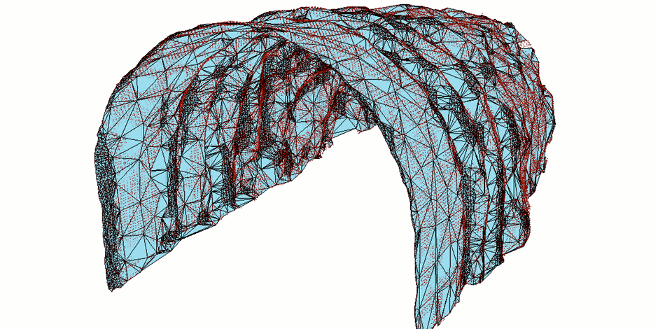
3D surface reconstruction of laser scanned terrestrial objects like rock formations and tunnels. Excess points are skipped by entering a parameter of resulting accuracy requirement, given by max distance from resulting surface to points in original point cloud. Resulting in a strongly reduced size of the 3D surface mesh compared to the original point cloud.
Software: Gemini 3D Terrain
Uses the following CGAL modules: 3D triangulations, Advancing Front Surface Reconstruction, Point Set Processing, Hole Filling.