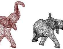
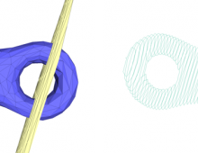
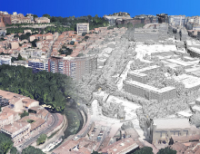
Given a point cloud and a user-defined set of classes (e.g. vegetation, ground, roofs, etc.), the algorithm classifies the points by computing a set of geometric attributes and minimizing a globally regularized energy.
The algorithm is based on the computation of a set of pointwise geometric attributes (such as planarity, local elevation, etc.). Each type (vegetation, ground, roof) is defined as a linear combination of these attributes. Classification is achieved by minimizing an energy over the input point cloud by selecting, for each point, the classification type that gives the best score. Global regularization is performed by using a graph-cut algorithm (alpha expansion).
This package is an extended implementation of the following article:
- Florent Lafarge and Clement Mallet. Creating large-scale city models from 3D-point clouds: a robust approach with hybrid representation. International Journal of Computer Vision, 99(1):69–85, 2012.


